Se San River
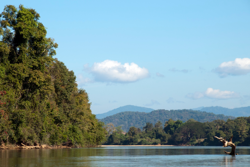
Located about 40km from northern part of the capital town of Banlung, the Se San is an all seasons river and one of the most important ecology systems that overlaps the provinces of Stung Treng and Ratanakiri. On the surface, some stretches of water glitter like diamonds and emeralds with white sandy beaches running alongside attracting scores of tourists to sunbath and make merry. The clear water along the river reflects the colourful sky-backed mountains and jungle and even during the dry season, the ambience can be charming. The numerous stretches of beach boast many spots for swimming and fishing; such recreational activities attract both local and international tourists all year round.
On one side of the Se San River the Veon Sai commune is a harmonious territory occupied by several ethnic groups; Khmer, Chinese, Kroeng, and Laotian people have been living there for generations. While the Chinese observe their own Chinese culture and traditional practices, the other groups also have their own ancestral practices to keep their identities. Here, they all communicate commonly in Chinese although all of them do speak Khmer and understood the Cambodian language well. The Hill Tribe, and people of Laotian ethnicity speak in their mother tongue among their own kind.
Most of the people here are farmers, fishermen and local traders.
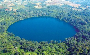
Yeak Laom Lake
Yeak Laom Lake is located about 5 kilometers southeast of central Banlung. This beautiful lake is a crater
Read More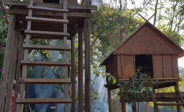
Ethnic Minority Museum
Near the shore of the Yeak Laom lake, is a museum built in traditional wooden style, to preserve and display all kinds of traditional hill tribe texti...
Read More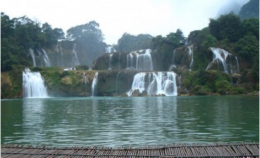
Cha Ung Waterfall
The Cha Ung Waterfall is located in the Kreung hill tribe village of Cha Ung, in the district of Ou Chum.
Read More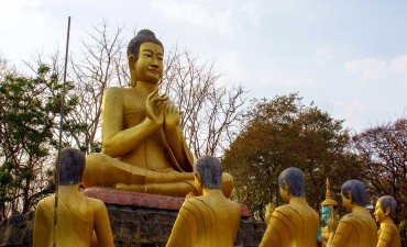
Eisey Patamak Mountain
Eisey Patamak Mountain or Phnom Eysei Patamak, is also known as Phnom Svay. Located about 2.5 km west of the Banlung provincial town
Read More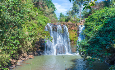
Kachanh Waterfall
As the name suggests, this interesting site is located in the Kachanh Commune in the district of Banlung.
Read More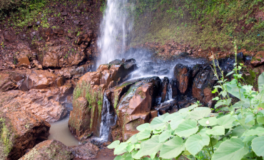
Katieng Waterfall
From the top the view of the waterfall is pretty stunning. You can look out across to large trees on the opposite bank, watch the water cascades from...
Read More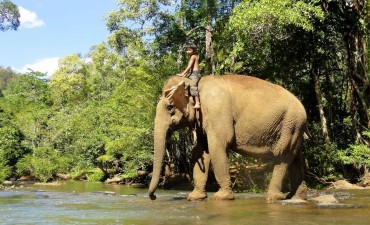
Lumphat's Wildlife Harmony
Lumphat Wildlife Sanctuary covers an area of 2,225 sq. km and charms visitors with its picturesque forests and tranquil surroundings. It is a haven fo...
Read More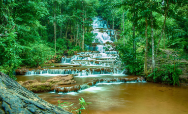
Ou’Sinlair Waterfall or 7-level waterfall
Ou’Sinlair Waterfall is located in Lum Phat district, about 30km south-west of Banlung. There was no good road to the falls, and that prevents mainstr...
Read More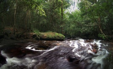
Tat Tay Waterfall
The Tat Tay is a water-rapids that is best enjoyed from February to April. It is located along the Sre Pork River, in the district of Lum Phat.
Read More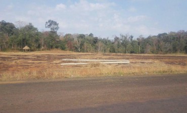
Veal Ram Plang
Veal Ram Plang got its name from the son of a hill tribe chief who lived in the area. According to legend, a long time ago, Veal Ram Plang was the nat...
Read More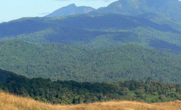
Virachey National Park
Picturesque natural forest, stunning mountains, plateaus, valleys, local ethnic communities and a diverse wildlife all await visitors at Virachey Nati...
Read More